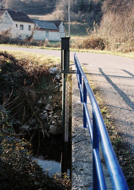
| Station name | GORNJA ŠUMETLICA |
| Station ID | 3140 |
| Station type | Real time data aquisition |
| River | SIVORNICA |
| Basin | BLACK SEA |
| District | Sava basin |
| Established | 21/12/1973 |
| End of operation | -- |
| Zero Datum (AMSL m) | 305,234 |
| Distance from the river mouth (km) | 10,164 |
| Distance from the river source (km) | -- |
| Catchment area (km2) | 26,900 |
| Measurement type | Info |
| WATER LEVEL | Extremes periods: Years: 1974. - 2016. Zero datum: 305,234 AMSL Minimum: 11. 7. 2016. -6 cm Maximum: 26. 7. 1982. 176 cm Years in database: 1974-1991 1998-2016 |
| DISCHARGE | Extremes periods: Years: 1974. - 2015. Minimum: 27. 7. 2009. 0,002 m3/s Maximum: 14. 7. 1979. 30,64 m3/s Years in database: 1974-1991 1999-2015 |
| DISCHARGE MEASUREMENTS | Measurements: 132 |
| CROSS SECTIONS | Measurements: 5 |