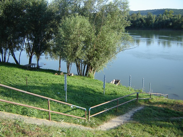
| Station name | SLAVONSKI KOBAŠ |
| Station ID | 3177 |
| Station type | Real time data aquisition |
| River | SAVA |
| Basin | BLACK SEA |
| District | Sava basin |
| Established | 01/10/1886 |
| End of operation | -- |
| Zero Datum (AMSL m) | 82,690 |
| Distance from the river mouth (km) | 390,500 |
| Distance from the river source (km) | -- |
| Catchment area (km2) | 48744,000 |
| Measurement type | Info |
| WATER LEVEL | Extremes periods: Years: 1900. - 1912. Zero datum: 83,570 AMSL Minimum: 23. 10. 1908. 43 cm Maximum: 29. 12. 1903. 974 cm Years: 1923. - 1925. Zero datum: 82,560 AMSL Minimum: 15. 8. 1923. 100 cm Maximum: 23. 11. 1925. 928 cm Years: 1926. - 1961. Zero datum: 82,600 AMSL Minimum: 16. 9. 1950. 46 cm Maximum: 16. 4. 1932. 931 cm Years: 1962. - 1976. Zero datum: 82,750 AMSL Minimum: 4. 11. 1971. 68 cm Maximum: 30. 10. 1974. 931 cm Years: 1977. - 2025. Zero datum: 82,690 AMSL Minimum: 8. 8. 2022. -8 cm Maximum: 18. 5. 2014. 941 cm Years in database: 1900-1912 1923-1944 1948-2025 |
| DISCHARGE | Extremes periods: Years: 1926. - 2025. Minimum: 28. 8. 2012. 136,9 m3/s Maximum: 18. 5. 2014. 3451 m3/s Years in database: 1926-1944 1948-1993 2005-2025 |
| DISCHARGE MEASUREMENTS | Measurements: 205 |
| CROSS SECTIONS | Measurements: 6 |