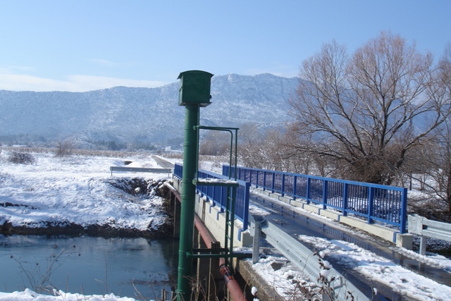
| Station name | DUSINA |
| Station ID | 7012 |
| Station type | Real time data aquisition |
| River | MATICA VRGORSKA |
| Basin | ADRIATIC |
| District | South Adriatic basin |
| Established | 28/07/1954 |
| End of operation | -- |
| Zero Datum (AMSL m) | 22,028 |
| Distance from the river mouth (km) | 15,200 |
| Distance from the river source (km) | -- |
| Catchment area (km2) | -- |
| Measurement type | Info |
| WATER LEVEL | Extremes periods: Years: 1954. - 2024. Zero datum: 22,028 AMSL Minimum: 24. 2. 1993. -31 cm Maximum: 21. 1. 1970. 584 cm Years in database: 1954-2024 |
| DISCHARGE | Extremes periods: Years: 1989. - 1996. Minimum: 15. 2. 1989. 0,703 m3/s Maximum: 14. 12. 1995. 123,0 m3/s Years: 1997. - 2024. Minimum: 22. 10. 2018. 0,001 m3/s Maximum: 9. 12. 2020. 96,24 m3/s Years in database: 1989-1996 1997-2021 2023-2024 Measurement subtype: PROTOK DIREKTNI PROTOK IZ KRIVULJE |
| TEMPERATURE | Extremes periods: Years: 1964. - 2024. Minimum: 16. 1. 1968. 6,5 °C Maximum: 28. 7. 2020. 26,3 °C Years in database: 1964-1990 1993-1997 1999-2024 |
| DISCHARGE MEASUREMENTS | Measurements: 250 |
| CROSS SECTIONS | Measurements: 12 |