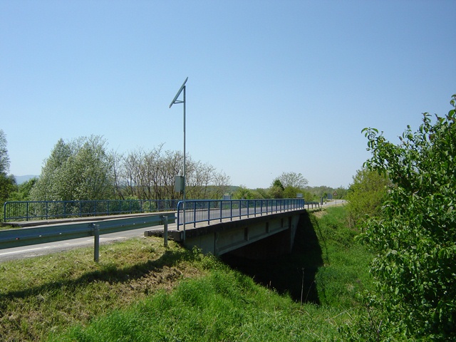
| Station name | ČAČINCI |
| Station ID | 5102 |
| Station type | Real time data aquisition |
| River | VOJLOVICA |
| Basin | BLACK SEA |
| District | Drava and Danube basin |
| Established | 01/01/1960 |
| End of operation | -- |
| Zero Datum (AMSL m) | 113,106 |
| Distance from the river mouth (km) | 19,700 |
| Distance from the river source (km) | -- |
| Catchment area (km2) | 150,000 |
| Measurement type | Info |
| WATER LEVEL | Extremes periods: Years: 1960. - 1971. Zero datum: --- Minimum: 8. 9. 1971. -70 cm Maximum: 12. 4. 1962. 340 cm Years: 1975. - 2024. Zero datum: 113,106 AMSL Minimum: 29. 7. 1996. -13 cm Maximum: 22. 6. 2010. 491 cm Years in database: 1960-1971 1975-2007 2009-2024 |
| DISCHARGE | Extremes periods: Years: 1960. - 2024. Minimum: 29. 7. 1996. 0,002 m3/s Maximum: 28. 5. 1975. 90,00 m3/s Years in database: 1960-1971 1975-2007 2009-2024 |
| DISCHARGE MEASUREMENTS | Measurements: 240 |
| CROSS SECTIONS | Measurements: 5 |