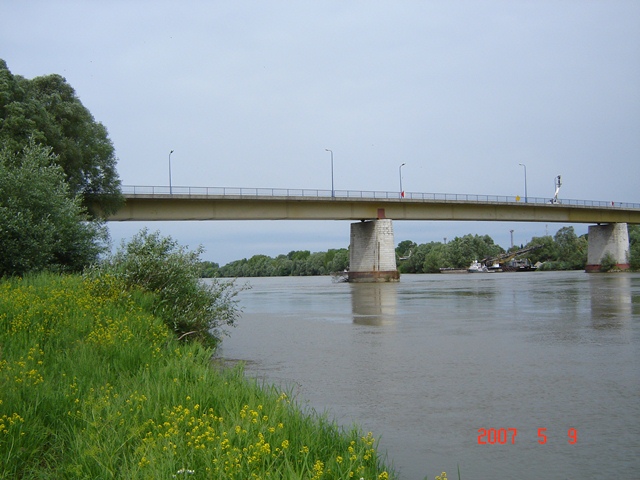
| Station name | TEREZINO POLJE |
| Station ID | 5063 |
| Station type | Real time data aquisition |
| River | DRAVA |
| Basin | BLACK SEA |
| District | Drava and Danube basin |
| Established | 01/01/1872 |
| End of operation | -- |
| Zero Datum (AMSL m) | 100,671 |
| Distance from the river mouth (km) | 152,300 |
| Distance from the river source (km) | -- |
| Catchment area (km2) | 33916,000 |
| Measurement type | Info |
| WATER LEVEL | Extremes periods: Years: 1925. - 2025. Zero datum: 100,671 AMSL Minimum: 4. 1. 2016. -374 cm Maximum: 19. 7. 1972. 403 cm Years in database: 1925-1940 1942-1943 1946-2025 |
| DISCHARGE | Extremes periods: Years: 1961. - 2025. Minimum: 21. 1. 2002. 110,8 m3/s Maximum: 19. 7. 1972. 2889 m3/s Years in database: 1961-2025 |
| TEMPERATURE | Extremes periods: Years: 1969. - 2025. Minimum: 1. 1. 1969. 0,0 °C Maximum: 25. 7. 2015. 27,0 °C Years in database: 1969-1989 1992-1996 1998-2025 |
| SUSPENDED SEDIMENT CONCENTRATION | Extremes periods: Years: 1990. - 2025. Minimum: 8. 3. 2020. 0,000 g/m3 Maximum: 28. 10. 1993. 694,0 g/m3 Years in database: 1990-2025 |
| LOAD TRANSPORT | Extremes periods: Years: 1990. - 2025. Minimum: 11. 3. 2015. 0,000 t Maximum: 28. 10. 1993. 126221 t Years in database: 1990-2025 |
| DISCHARGE MEASUREMENTS | Measurements: 617 |
| CROSS SECTIONS | Measurements: 23 |